Project Description
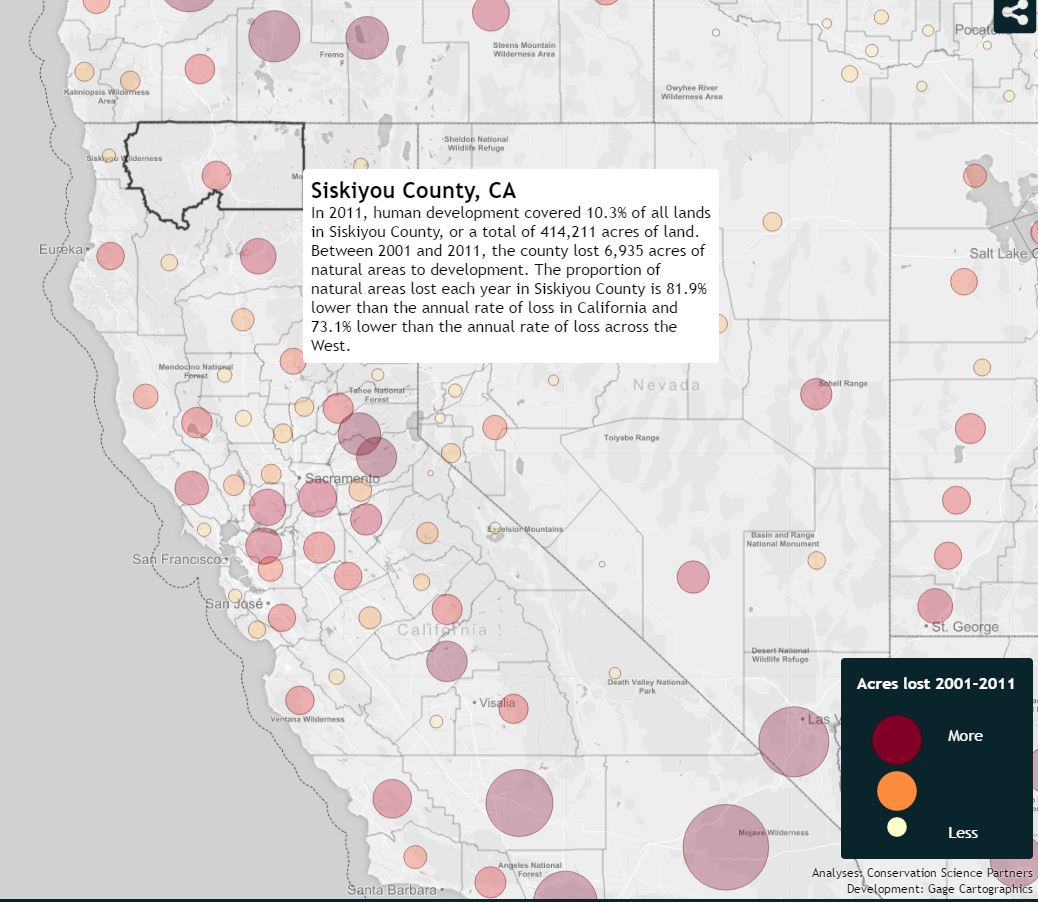
Gage Cartographics worked with Conservation Science Partners and the Center for American Progress on the Disappearing West Project. Conservation Science Partners’ research and analysis was transformed by Gage Cartographics to create an interactive map and data visualization. Technologies include D3, TopoJson, GeoServer and Leaflet. See the map at the link below
THE DISAPPEARING WEST
