Project Description
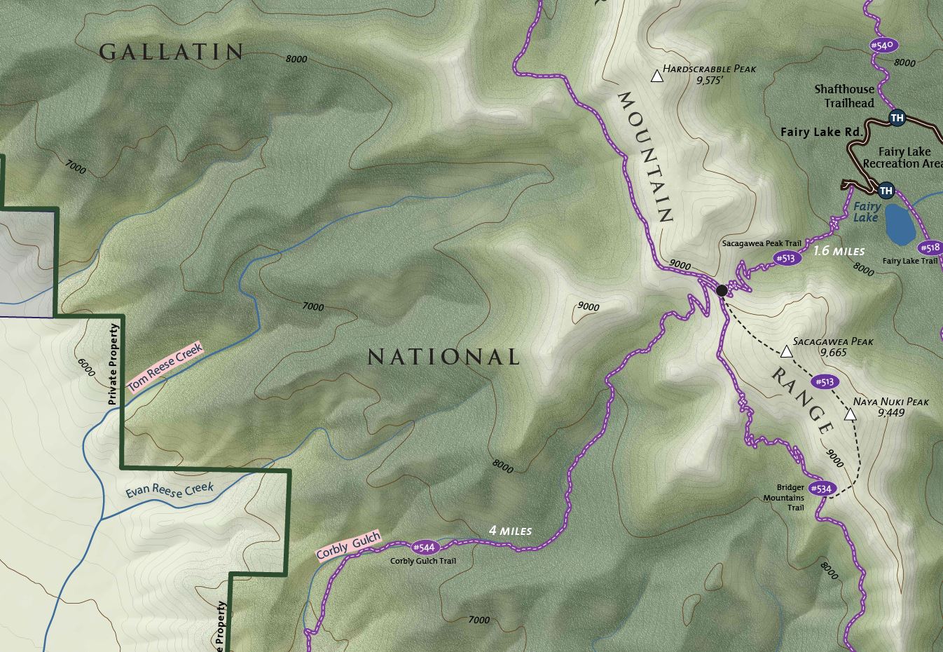
Gage Cartographics worked with the Gallatin Valley Land Trust, a local trails non-profit to develop a trailhead kiosk for North Cottonwood. The map uses advanced techniques for depicting topography and land cover, giving the landscape a photo-realistic feel.
